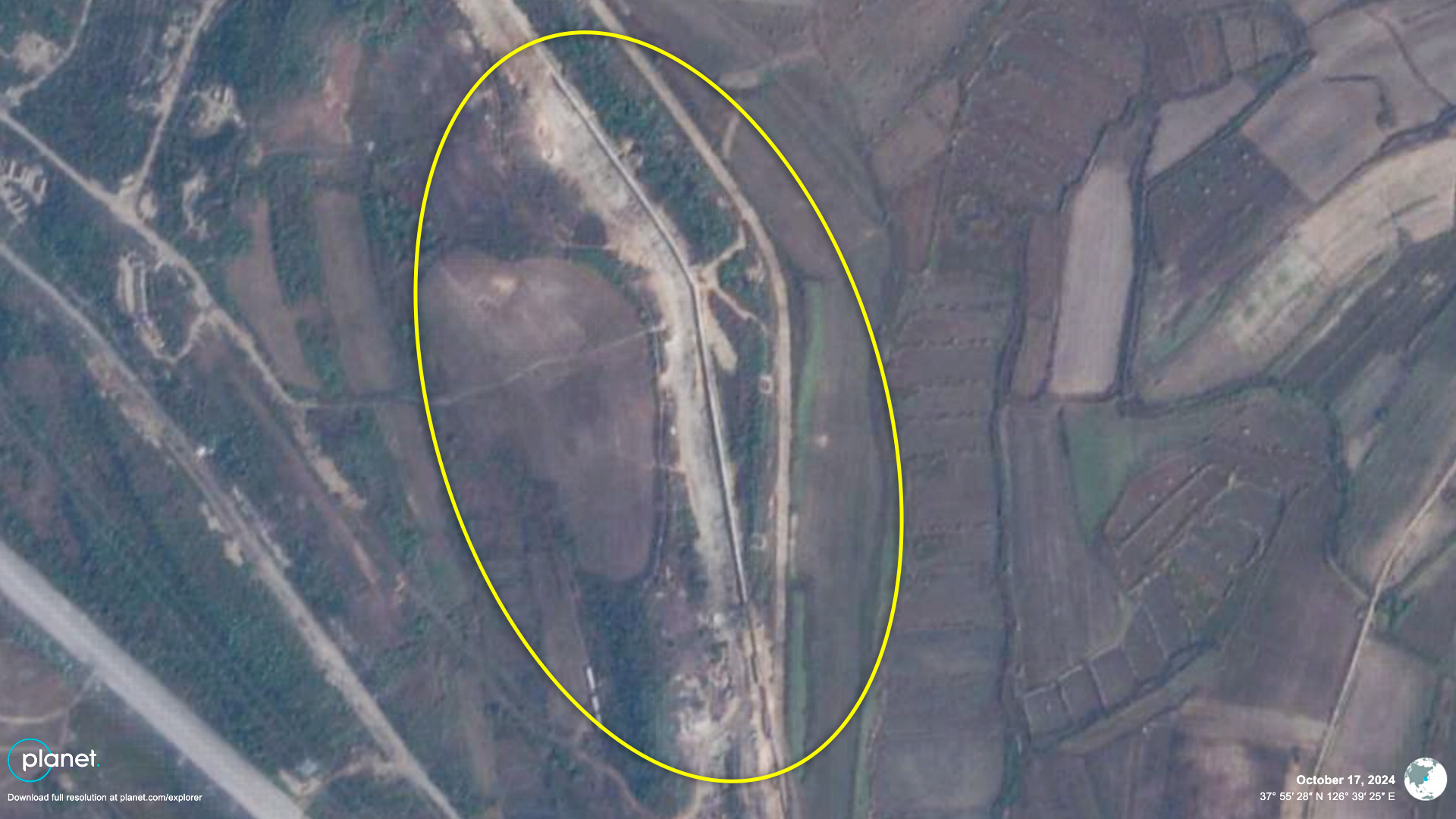
  Analysis Satellite imagery shows DPRK laid explosives at edge of MDL to destroy roadsImages show North Korea is still in process of digging up sections of road and railways to sever ties to South 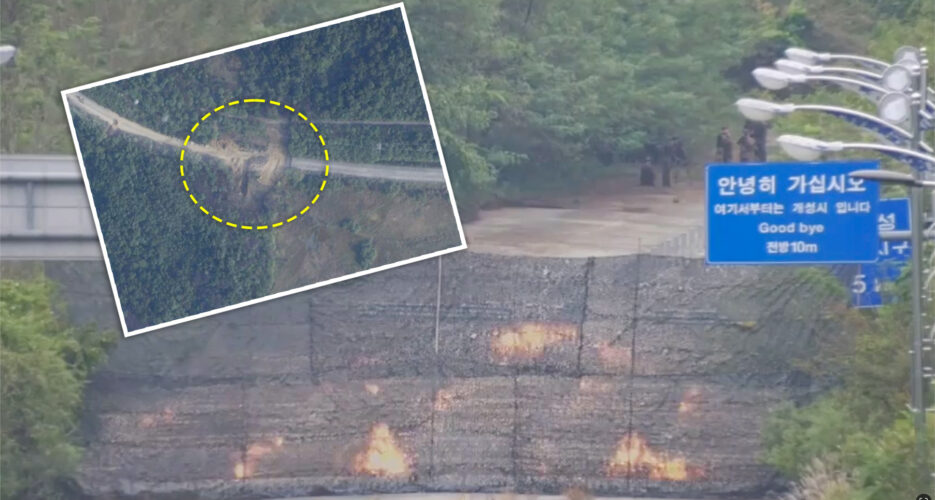 NK Pro has acquired the first satellite images of the road explosion North Korea carried out Tuesday as part of efforts to cut ties with South Korea, revealing that the DPRK military laid explosives right on the ROK border. Planet Labs high-resolution satellite imagery shows North Korea blew up and dug up parallel sections of road and rail starting from the edge of the military demarcation line (MDL) inside the demilitarized zone (DMZ) separating the two Koreas near Kaesong on the west coast. The image, taken early on Thursday morning, shows North Korea had removed 100 feet (30 meters) of road and rail sections and was still in the process of digging up a further 100 feet. 
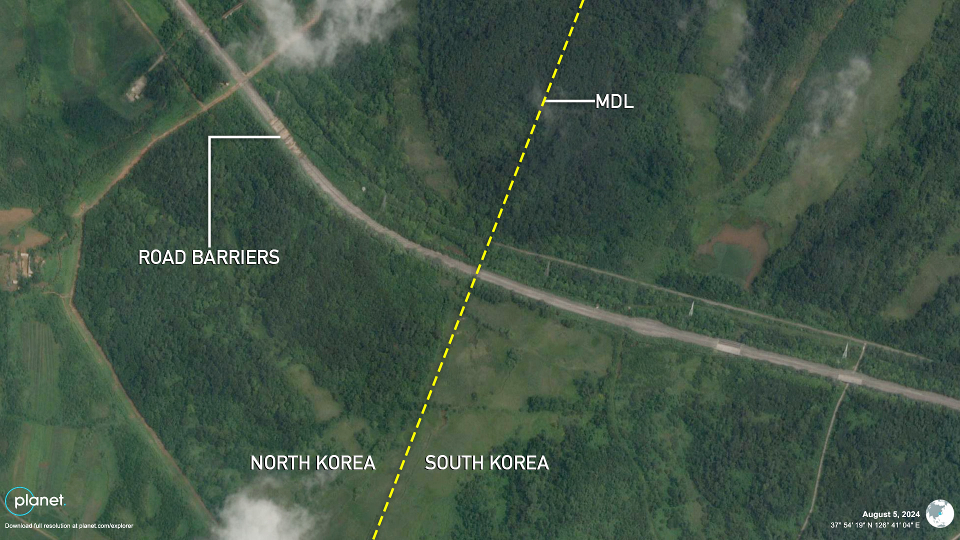
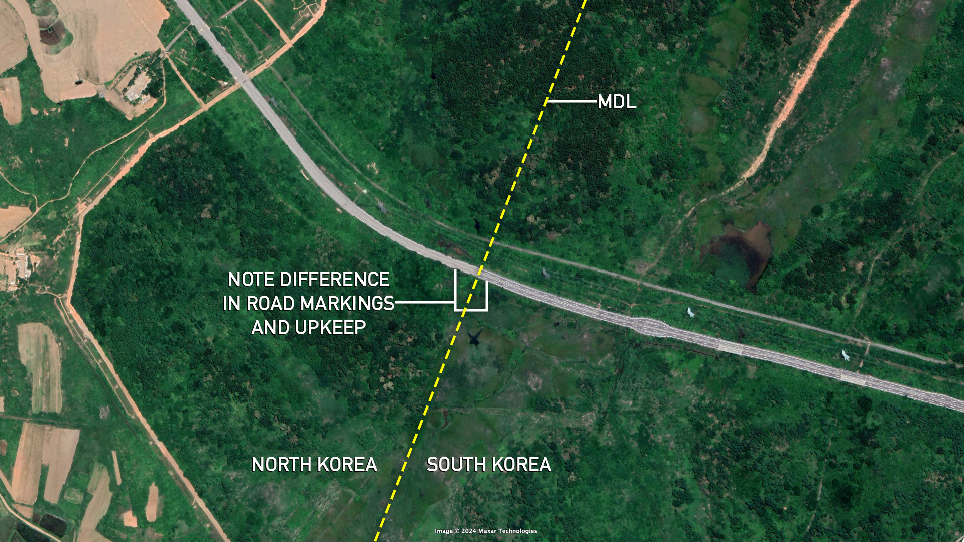
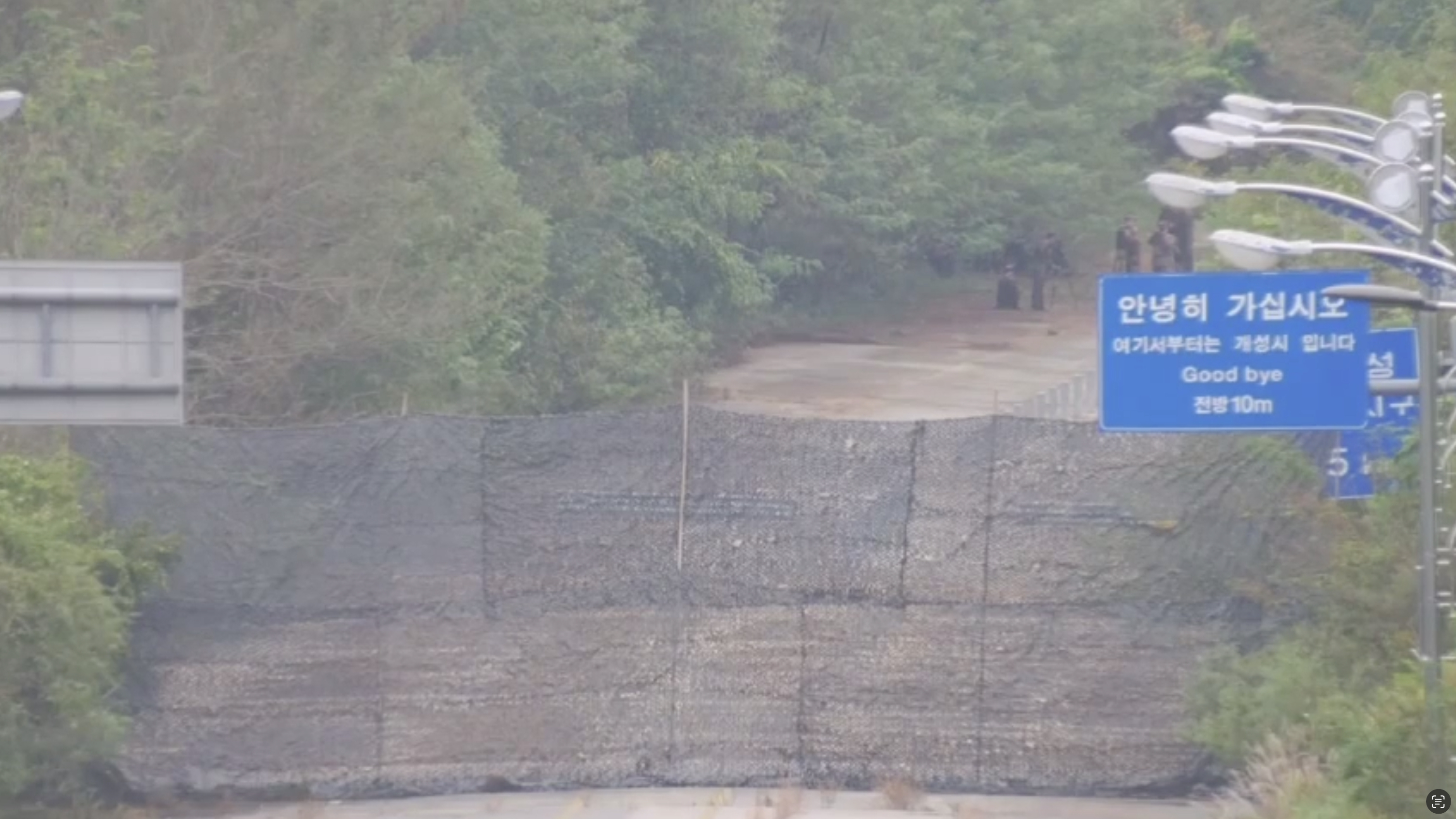

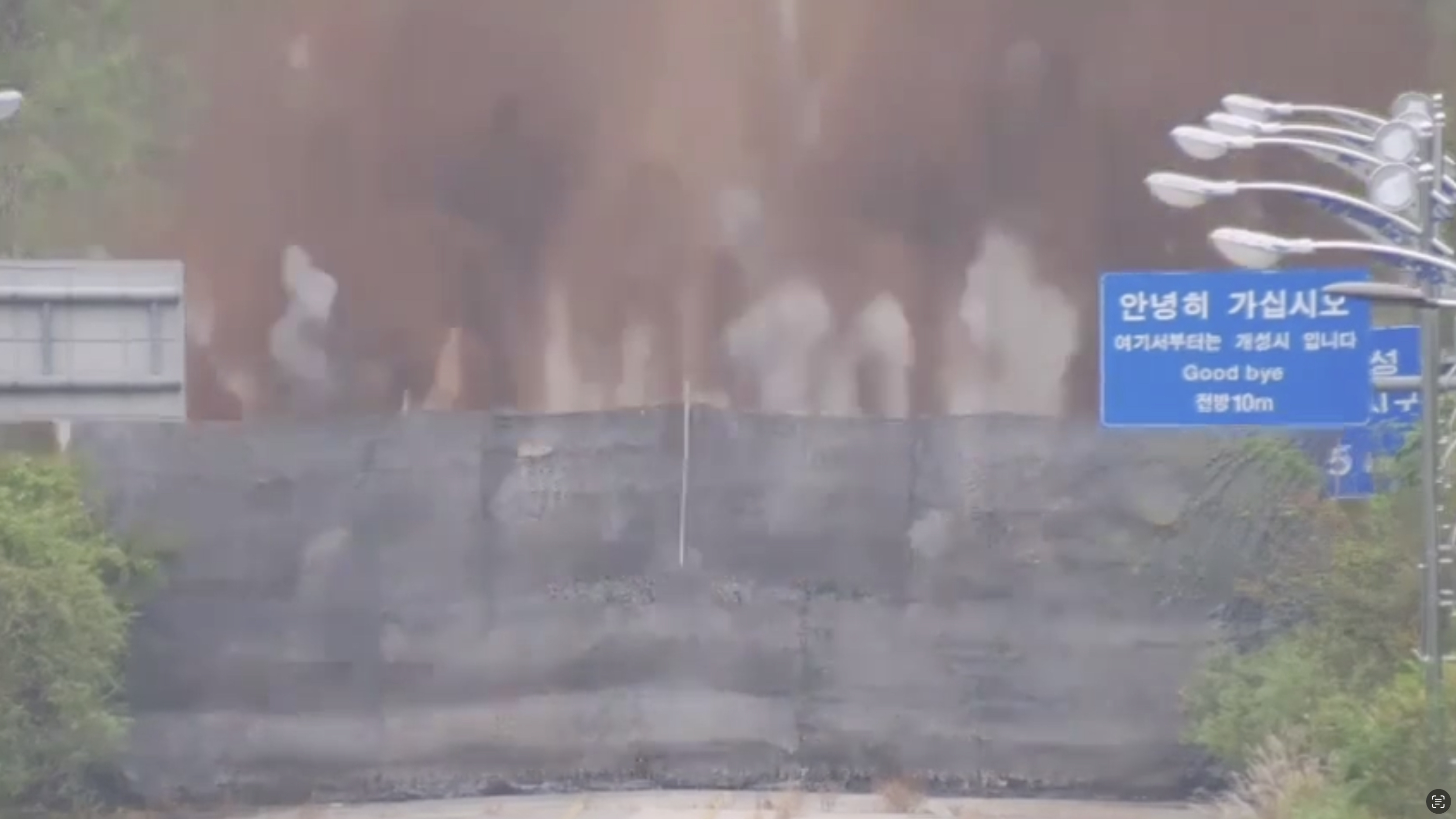
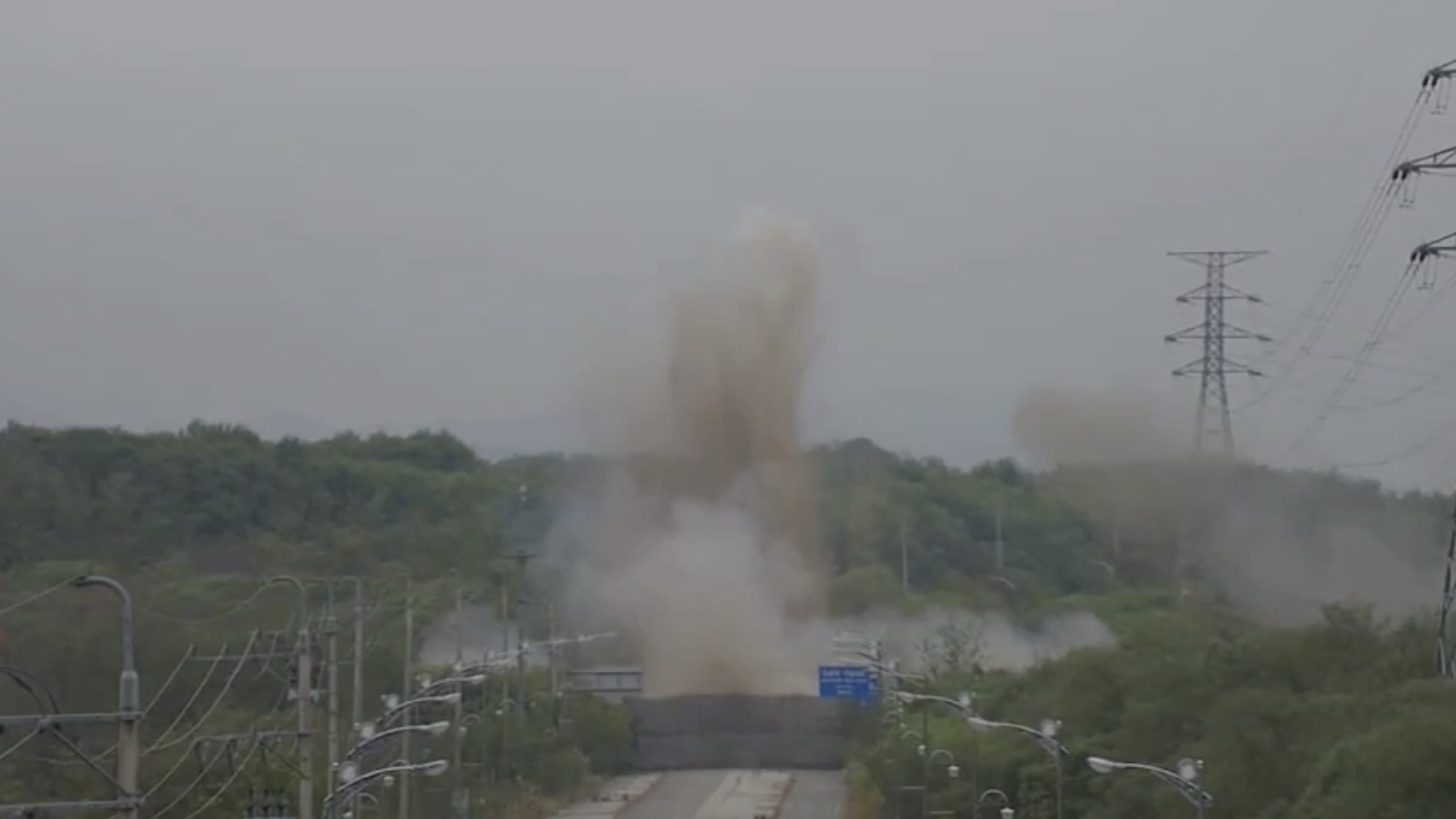
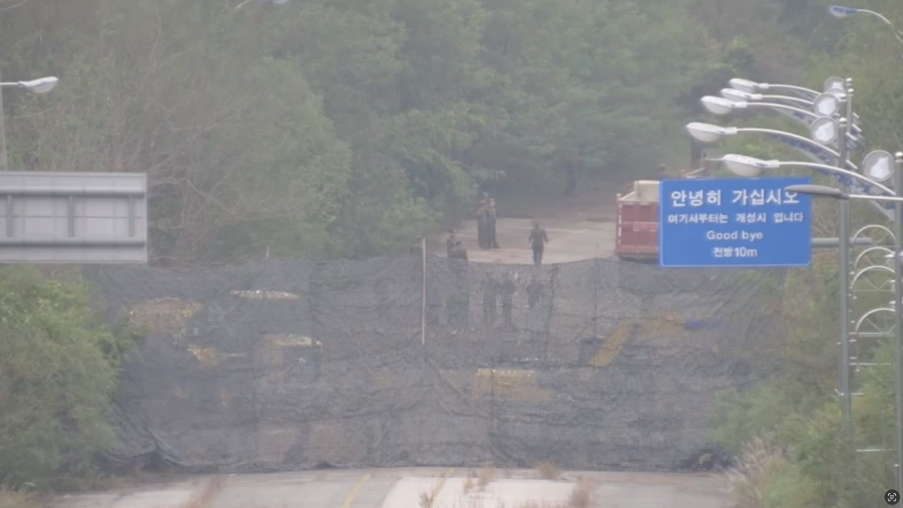
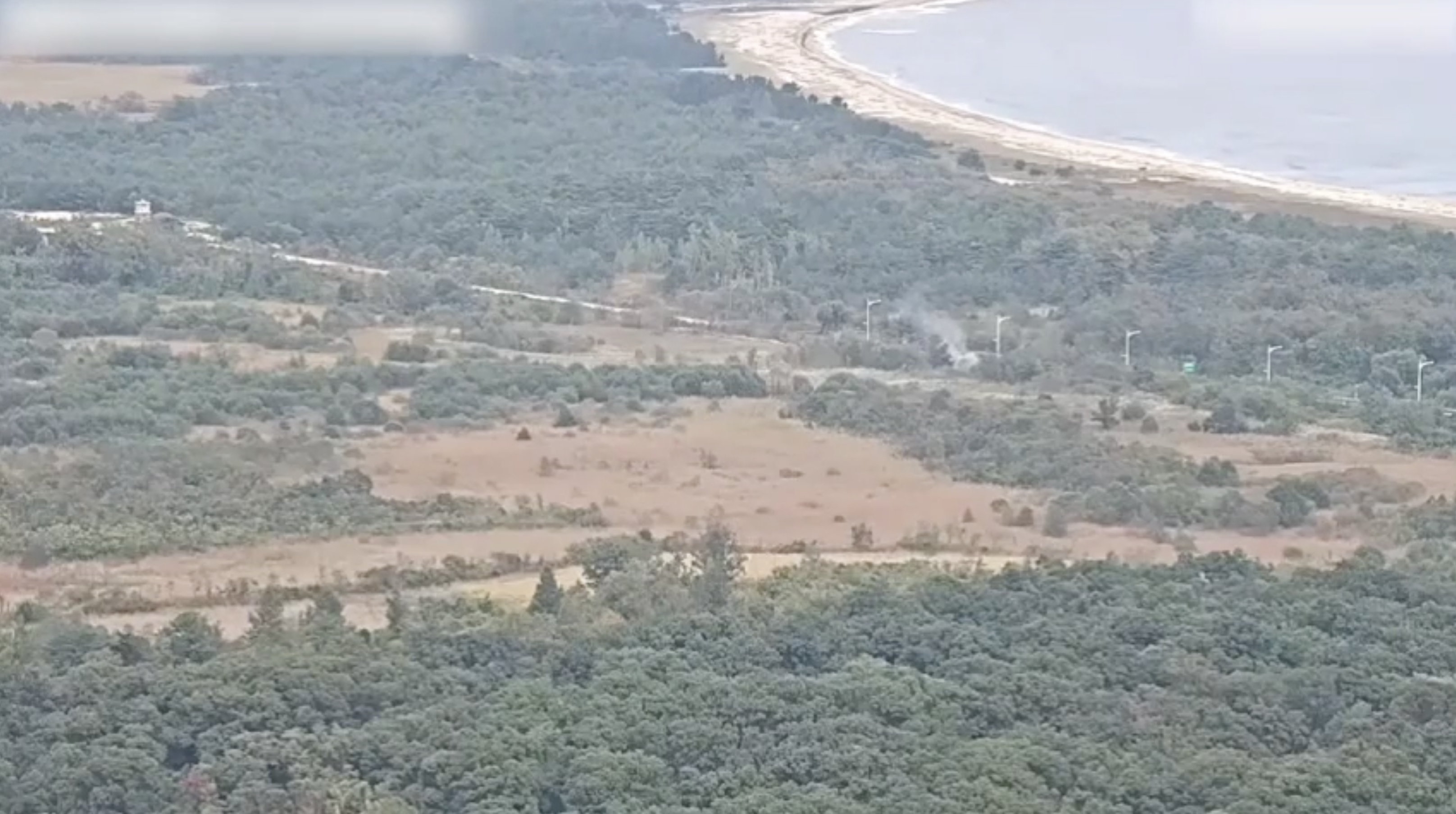
State newspaper Rodong Sinmun belatedly reported on the action around the same time Thursday morning, claiming that 200-foot (60-meter) sections of road and rail had already been removed at Kaesong on the west coast and Kosong on the east coast. South Korea’s Joint Chiefs of Staff (JCS) recorded the explosions in real time and released video footage soon after on Tuesday, stating that “there was no damage to our military as a result.” “Our military responded by firing back at the area south of the MDL,” JCS added at the time, an action likely taken due to North Korea setting explosives almost touching ROK territory. A series of road barriers which were set up on the Kaesong MDL-crossing road earlier this year appear to have been removed in order to allow the movement of vehicles to and from the explosion site, though they may be restored after the road removal project is finished. Though new imagery is not yet available of the road explosion in Kosong on the east coast, South Korea’s video footage suggests the location was similarly right up against the MDL. North Korea could repair the short road and rail sections in the case of any future improvement of relations, undermining its message of creating a “permanent fortification of the southern border” and completely cutting off inter-Korean ties. But the North’s efforts to fortify the border to both keep North Koreans from leaving the country and protect against ground incursions have indeed continued in recent months, Planet Labs imagery shows. Around 1.2 miles (2 km) of what appear to be sections of wall have been constructed further north but just to the southeast of the edge of the Kaesong Industrial Complex, a former joint operation with South Korea which the North has since taken over despite protests from the South. 
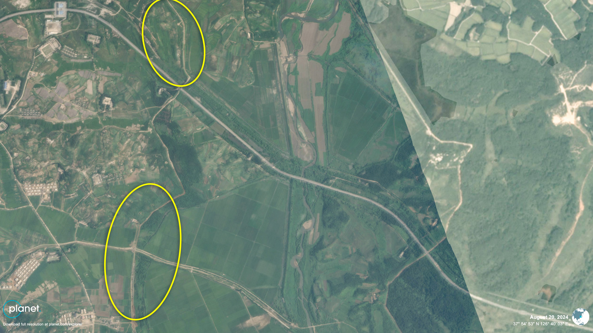
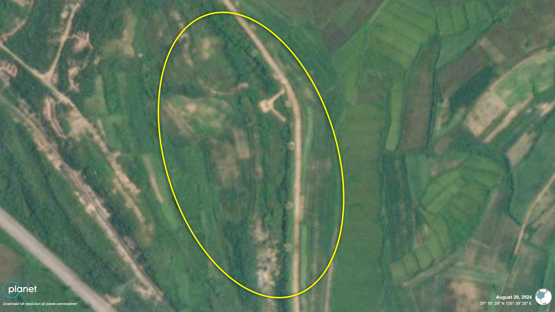
This is in addition to North Korea’s continuing efforts since May this year to carve out multiple long sections of wide new defense lines in the forest close to and sometimes crossing the MDL inside the DMZ. DPRK leader Kim Jong Un demanded in January that the country’s constitution be changed to describe South Korea as an enemy state and to “clearly stipulate” the geographical features of the border, which were missing from the document. State media hinted on Thursday that the constitution may have indeed been changed to reflect Kim’s demands at a Supreme People’s Assembly (SPA) session earlier this month, but North Korea has yet to release any details of relevant changes. Edited by Alannah Hill © Korea Risk Group. All rights reserved. |

October 16, 2026Oct 16, 2026

The ultimate resources for professionals working on North Korea
 SHARE
SHARE COPY LINK
 X
X MASTODON