
  Analysis Tracking the damage: assessing North Korea’s flooding situationSatellite analysis reveals significant damage to infrastructure 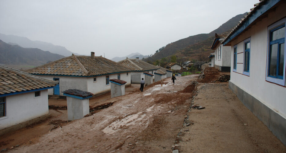 Imagery provided by Planet Labs has shown the extent of earlier reported flooding along the Tumen River, particularly extensive flooding of land around the Wonjong border crossing in the far northeast of the DPRK as well as near Hoeryong city. Though this region has not been hit as hard as Yonsa, Musan, or Hoeryong, there is still significant damage along the Tumen north of Rason. The North Korean government has reported as many as 44,000 people displaced in the northeastern part of the country.   Imagery provided by Planet Labs shows that upwards of 95 buildings were seriously damaged or submerged on or by September 1st in the area from Sinasan and Paksa to Wonjong and the border with Khasan. The worst visible damage occurred in the small villages on the small peninsula 1 to 5 kilometers north of the Wonjong border crossing, pictured above. The majority of the buildings appeared to be residential homes. At the Wonjong border crossing itself, pictured below, large portions of the customs area on the DPRK side are still above flood level, but at least one set of buildings have been caught in floodwaters. The under-construction bridge does not appear to be damaged.   In addition, imagery from the Hoeryong area shows at one village of approximately 250 buildings severely damaged from floodwaters.   Relief efforts on both sides of the border are ongoing along the entirety of the Tumen River, with the Red Cross working on the DPRK side. Additionally, Chinese soldiers were deployed to the PRC side of the border earlier this month to help floodwaters and provide relief in Jilin and Liaoning provinces.  © Korea Risk Group. All rights reserved. |

October 25, 2026Oct 25, 2026

The ultimate resources for professionals working on North Korea
 SHARE
SHARE COPY LINK
 X
X MASTODON