|
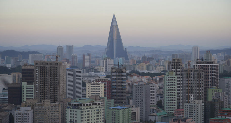
Analysis Imagery analysis: North Korea’s capital, as seen from aboveFrom new construction to rarely-seen official buildings, a guided tour of Pyongyang  In a country going to great lengths to isolate itself, commercial satellite imagery has become a powerful tool used to monitor activities and developments on the ground in North Korea. But while it enables them to identify and access otherwise unreachable locations, there are inherent limitations to what information can be extracted with certainty, without use of other sources. On the one hand, the resolution of imagery provided by services like Google Earth and Planet Labs is limited, meaning it’s often difficult to make out precise details. On the other, the frequency of updates means that © Korea Risk Group. All rights reserved. |

The ultimate resources for professionals working on North Korea


